 |
||||||
|
|
|
|
|
|
|
|
|
|
||||||
|
|
|
|
|
|
|
|
|
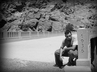
weird that there are no roads leading to or from it. Many roads travel through the canyon, but little by little they are being shut down to cars. Hikes and bikes are still allowed for those who are daring enough. There is a road that was closed off very early due to rains and rockslides that are common in this canyon. This road, called "Shoemaker," might have been the road that led to the Bridge to Nowhere. Other roads, like Azusa itself, hold greater mystery. A boulder thrashed Azusa Canyon road at its highest point, and it has been swallowed into the road, creating a blocked single lane nightmare. Many of the roads in this canyon are open only seasonally because of rockslides. My personal belief is there is not enough money for Parks and Rec to maintain the roads. Many people die in these canyons each year. They are vast enough that the bodies can never be found. And the canyon is laced with secrets and unexplained mysteries. We departed at 9am for our rough trip to the Bridge to Nowhere, departing East Fork cul-de-sac at 10:48. Both my friend the Pahrmer and I knew we were in for a little bit of a hike as we traveled over rough terrain including a river, rocks large and small, trails, and steep cliffs. The bridge itself is five miles into the canyon; however, the many obstacles that lie in your way make this trip a treacherous seven miles over severe rocky terrain. From the end of the path off East Fork both the Pharmanimal and I could already see depleted bridges as well as a road in certain spots. We knew the bridge was only getting closer, and with every odd piece of lengthened asphalt it gave us more hope to push on. The travel to the bridge was much longer and more exhausting then either of us would have thought, and with just two beers, a bag of pretzels, and one canteen of water, the sun was wasting us. The longer we traveled the more our thirst grew. These pictures I bring to you came with great exhaustion and are well deserved. You don't just go to the Bridge to Nowhere and take pictures of yourself next to it to look cool. You’re beaten to crap upon arrival and the return trip is twice as exhausting if you go back the same way you came. This edge goes on for about another 400 feet on a narrow path to a severe steep gorge, standing on the bridge its about a three, maybe four-hundred-foot drop. The Gorge is narrow and the only way to continue on the road would be to tunnel. This image is just and example of the terrain on the way to the bridge, it severely differs from paths, to depleted road segments, to large rounded rocks, to small paths, to strong current rivers. –Paintchips An account of the history behind The Bridge to Nowhere can be found posted on the Internet by Christopher Earls Brennen at http://www.dankat.com/mstory/wild.htm. It reads: "The Bridge to Nowhere is one of the most bizarre artifacts to be found in the San Gabriel Mountains. Back in the 1920s, Los Angeles County planned to build a highway all the way up the East Fork canyon to the Mine Gulch Bridge to Nowhere Junction. From there the road would climb over Blue Ridge and drop down into Wrightwood. It would be among the most scenic roads in America. Construction began in 1929, most of the work being done by County prison work crews. By the mid-1930s the highway had reached The Narrows (2800ft) where the East Fork flows through a very deep gorge, the deepest in Southern California. There it was necessary to construct a concrete bridge high above the waters of the gorge. A tunnel was also chiseled out of sheer rock. However, the winter after this difficult construction task had been completed, an unprecedented |
|